
OAN’s Danielle Lund
12:59 PM PT –Thursday, June 20, 2024
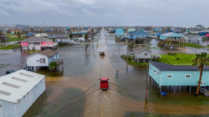
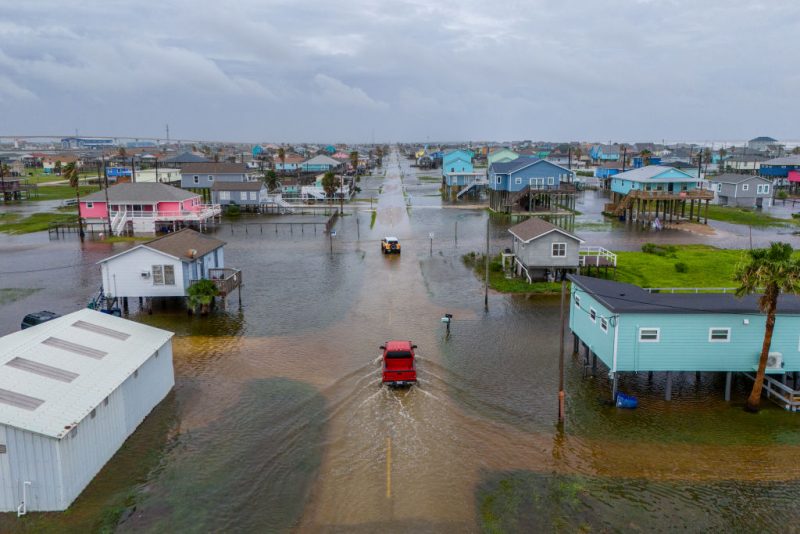
Governor Greg Abbott has issued a severe weather disaster for 51 counties as Tropical Storm Alberto impacts southern Texas.
Advertisement
The first named tropical storm of hurricane season is starting to move inland over Mexico. However, that isn’t stopping the United States from feeling Alberto’s effects.
Hours before the storm was expected to make landfall on Thursday, officials in both Mexico and in Texas were monitoring water levels as heavy rainfall started to come down.
The National Hurricane Center has been tracking Alberto as it developed and crossed the Gulf of Mexico.
“We could see it strengthened a little bit. Right now, the peak winds are about 40mph, that could get up to 45 or 50mph before landfall, but it really only has less than 24 hours before the center moves inland over Mexico,” Michael Brennan, Director of the National Hurricane Center said. “But that, that really doesn’t have much, much to do with what the impacts are going to look like on the Texas coast for example. The heavy rainfall is going to occur regardless of what those peak winds are.
The large storm has tropical winds extending around 415 miles from its center. While Alberto made landfall in Mexico early Thursday morning, Texas is still feeling the effects.
Parts of the Lone Star State have seen more than their monthly expected rainfall amounts in less than a day, with some areas getting over a foot of rain as officials warn of possible flash floods.
“We are already seeing impacts along the Texas coast in terms of, you know, some strong winds or some coastal flooding this morning, heavy rainfall, flood watches and warnings in effect,” Brennan continued.
People have been warned to avoid beaches as conditions are still hazardous with up to three feet of coastal flooding, rip currents and low visibility.
Further inland, the effects from the storm were still noticeable as officials prepared dozens of high-water trucks and boats to ready for possible water rescues as roads and homes flood.
At least three deaths have been attributed to the storm in Mexico due to electrified waters and fast currents.
Back in Texas, tornado warnings were issued.
For as much damage as the storm has caused, many drought-impacted areas of Mexico and Texas are grateful for the rain.
Officials predict Alberto is only the start of what’s expected to be a very busy hurricane season.
They’re estimating as many as 25 named storms and seven major hurricanes may develop through November.
Stay informed! Receive breaking news blasts directly to your inbox for free. Subscribe here. https://www.oann.com/alerts


Be the first to comment